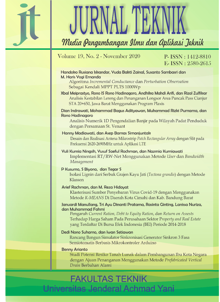
Analisis Numerik 1D Pengendalian Banjir pada Wilayah Padat Penduduk dengan Persamaan St. Venant
DOI:
https://doi.org/10.26874/jt.vol19no02.131Keywords:
Banjir Ujung Berung, SWMM, Banjir Kota BandungAbstract
As one of the densest populations in Bandung City, Ujung Berung District has suffered because of flood disaster, which resulted several problems in that area. These problems arose due to non-optimal land handling, especially about a sporadic land alteration from agricultural to residential areas on the upstream. One of the disastrous area is the northern Ujung Berung at Griya Winaya Resident. The drainage channel on this resident was originally an irrigation channel system which been changed without an appropriate technical justification. Therefore, the residents, with ±800 population or 300 household/Ha, struggled to deal with flood problems when they get rainfalls with an intensity more than 30 mm/hour. This research conducted at RT 05 RW 12 as the worst affected area, and used Storm Water Management Model (SWMM) software to determine flood routing by 1D St. Venant equation. Using a rainfall data from Cibiru rainfall station for 2005-2016 periods, the model successfully developed flood simulation at dense area with a narrow and winding channel. Moreover, the 10 (ten) years return period of annual flood can be managed with the increasing of drainage channel until 100 percent in dimension.
References
Barco, J., Wong, K. M., & Stenstrom, a. M. (2008, April). Automatic Calibration of the U.S EPA SWMM Model for a Large Urban Catchment. Journal of Hydraulics Engineering, 134(4), 466-474. Diunduh 10 Maret 2020, dari https://doi.org/10.1061/(ASCE)0733-9429(2008)134:4(466)
Indrawati, D. (2014). Analisis Pemilihan Bangunan Drainase Pengendali Banjir pada Sebuah DAS. Ultimate, 40-47.
Rossman, L. A. (2017). Storm Water Management Model Reference Manual Volume II - Hydraulics. Cincinnati: United States Environmental Protection Agency. Diunduh 10 Maret 2020 dari https://nepis.epa.gov/Exe/ZyPDF.cgi/P100P2NY.PDF?Dockey=P100P2NY.PDF
Rosyidie, A. (2013). Banjir: Fakta dan Dampaknya, serta Pengaruh dari Perubahan Guna Lahan. Jurnal Perencanaan Wilayah dan Kota, 241-249.
Sulfandi. (2016). Studi Pengaruh Perubahan Tataguna Lahan di DAS Mamasa terhadap Usia Guna Waduk PLTA Bakaru. Teknik Pengairan UB, 7(1), 139-149. Diunduh 10 Maret 2020, dari https://jurnalpengairan.ub.ac.id/index.php/jtp/article/download/288/260
Additional Files
Published
Issue
Section
License
Copyright (c) 2020 Dian Indrawati Subagyo, Mohammad Bagus Adityawan, Muhammad Rizki Purnama, Rono Hadinagoro

This work is licensed under a Creative Commons Attribution-NonCommercial-ShareAlike 4.0 International License.
Penulis yang menyerahkan artikel di Jurnal Teknik: Media Pengembangan dan Aplikasi Teknik untuk keperluan publikasi telah mengetahui bahwa Jurnal Teknik: Media Pengembangan dan Aplikasi Teknik memberikan akses terbuka terhadap konten untuk mendukung pertukaran informasi mengenai ilmu pengetahuan, sesuai dengan penerbitan daring yang berbasis Open Access Journal dan mengikuti Creative Commons Attribution 4.0 International License. Sehingga penulis setuju dengan ketentuan-ketentuan berikut:
1. Penulis memegang hak cipta dan memberikan hak publikasi pertama kepada pihak jurnal dengan pekerjaan secara bersamaan
di bawah Creative Commons Attribution 4.0 International License yang memungkinkan orang lain untuk berbagi pekerjaan
dengan pengakuan kepengarangan karya dan publikasi pertama artikel tersebut di Jurnal Teknik: Media Pengembangan dan
Aplikasi Teknik.
2. Penulis dapat melakukan perjanjian tambahan untuk hak distribusi non-eksklusif artikel yang telah diterbitkan di jurnal ini
(misalnya, posting ke sebuah repositori institusi atau menerbitkannya dalam sebuah buku), dengan mengakui bahwa
publikasi pertama dilakukan di Jurnal Teknik: Media Pengembangan dan Aplikasi Teknik.
3. Penulis diizinkan dan didorong untuk menyebarkan karya mereka secara daring (misalnya, dalam repositori institusi atau
laman web penulis) setelah artikel terbit (proses penerbitan artikel selesai). Hal ini terkait dengan imbas dari pertukaran
informasi yang produktif (Lihat Pengaruh Open Access).


